Hello & welcome to our blog of our 2023 Australian mainland holiday.
We have a few overseas followers who follow our adventures, so we are including details of roads & locations as we know they follow us on Google Earth.
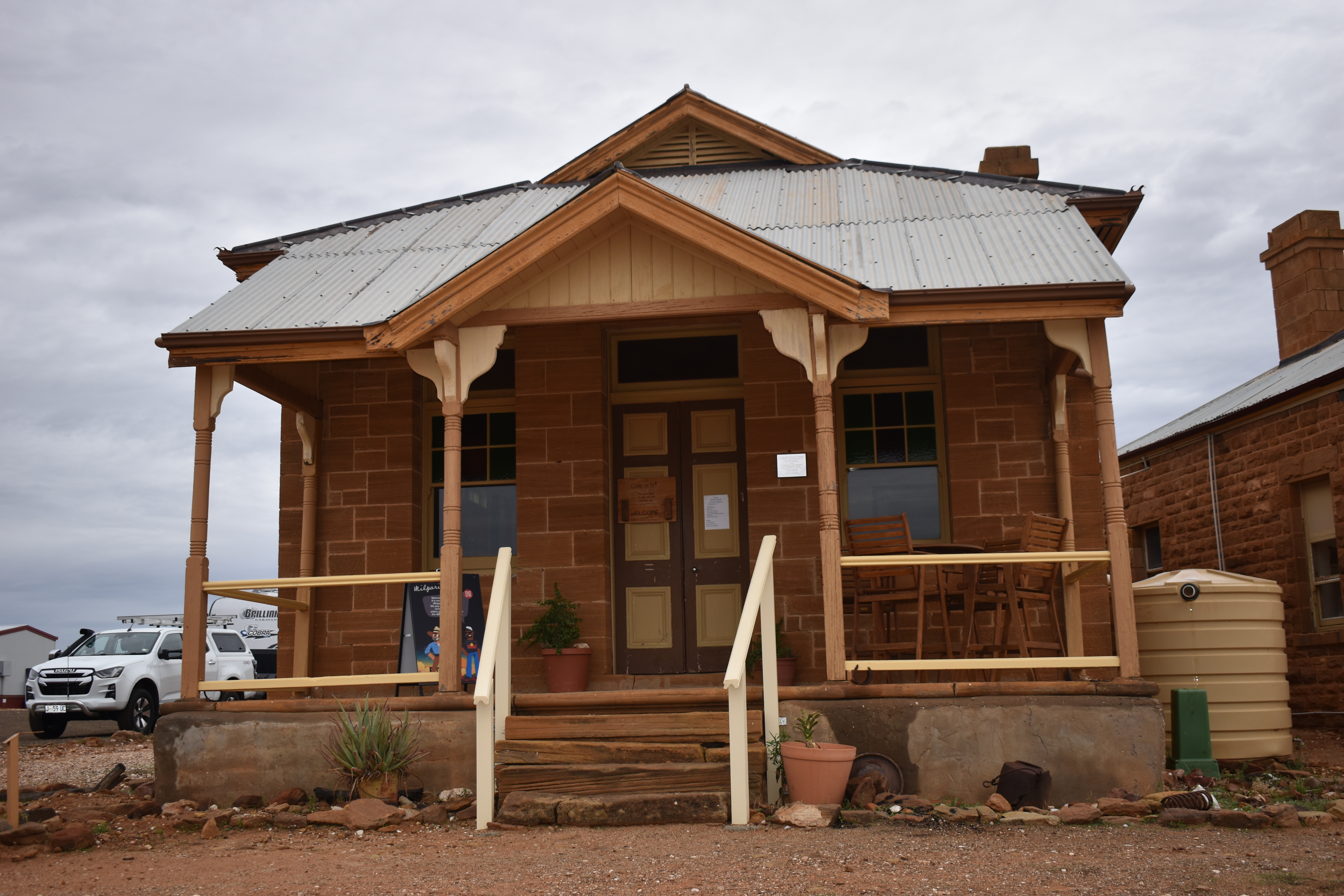
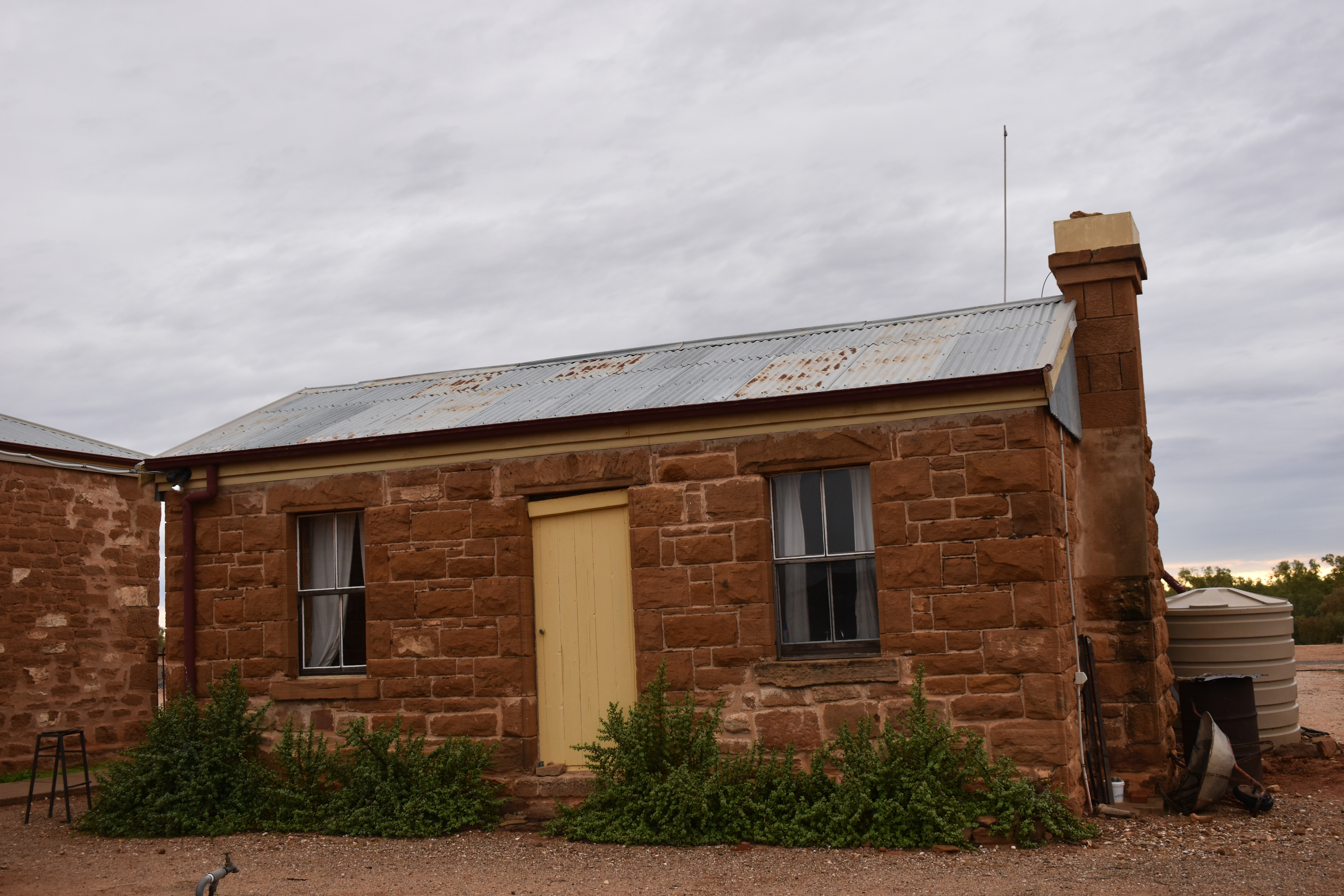
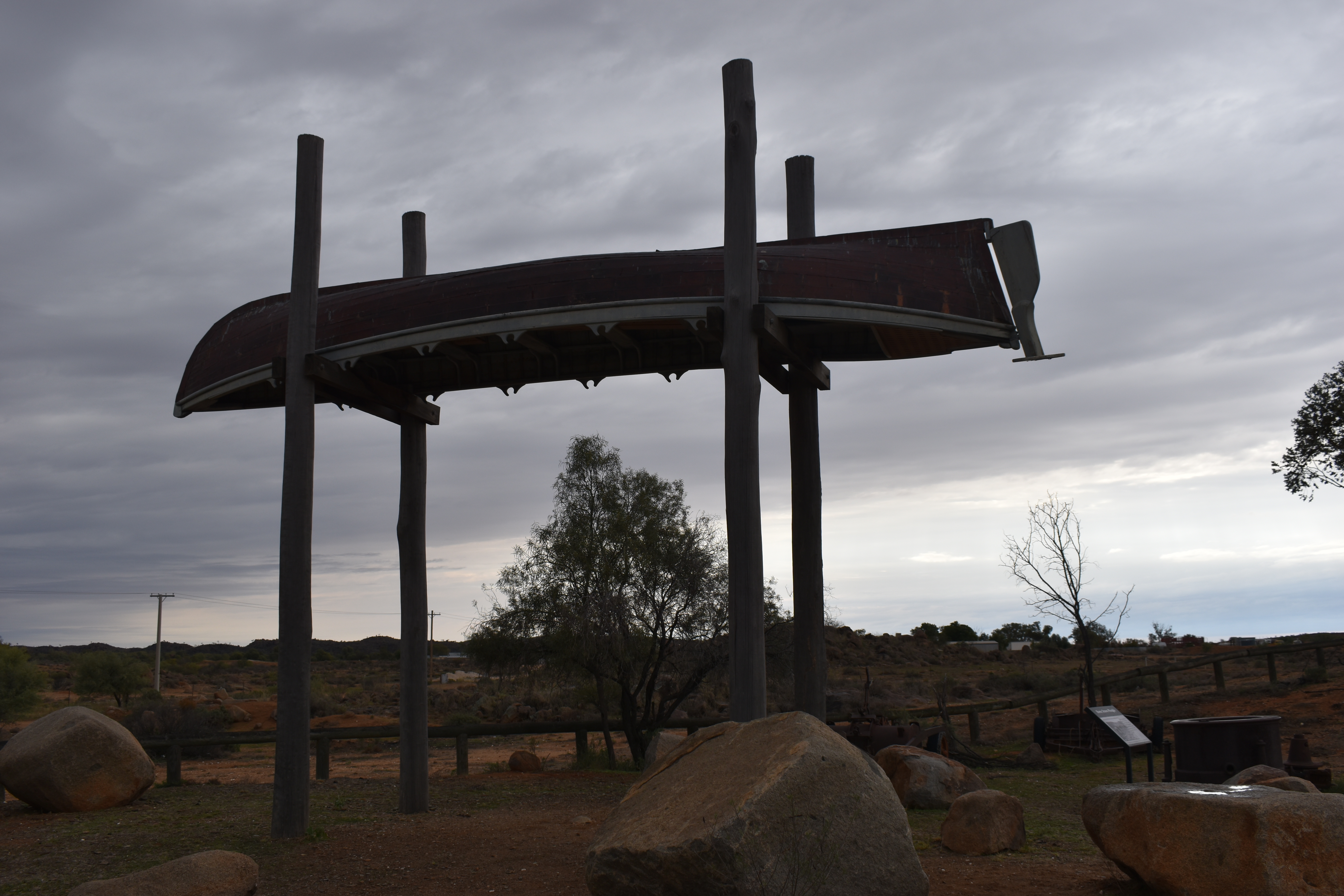
After Broken Hill, Tibooburra was our next destination but first we enjoyed a day and night at the old gold mining town of Milparinka where there is much to see. The community has been restoring the old remaining stone buildings of the town.
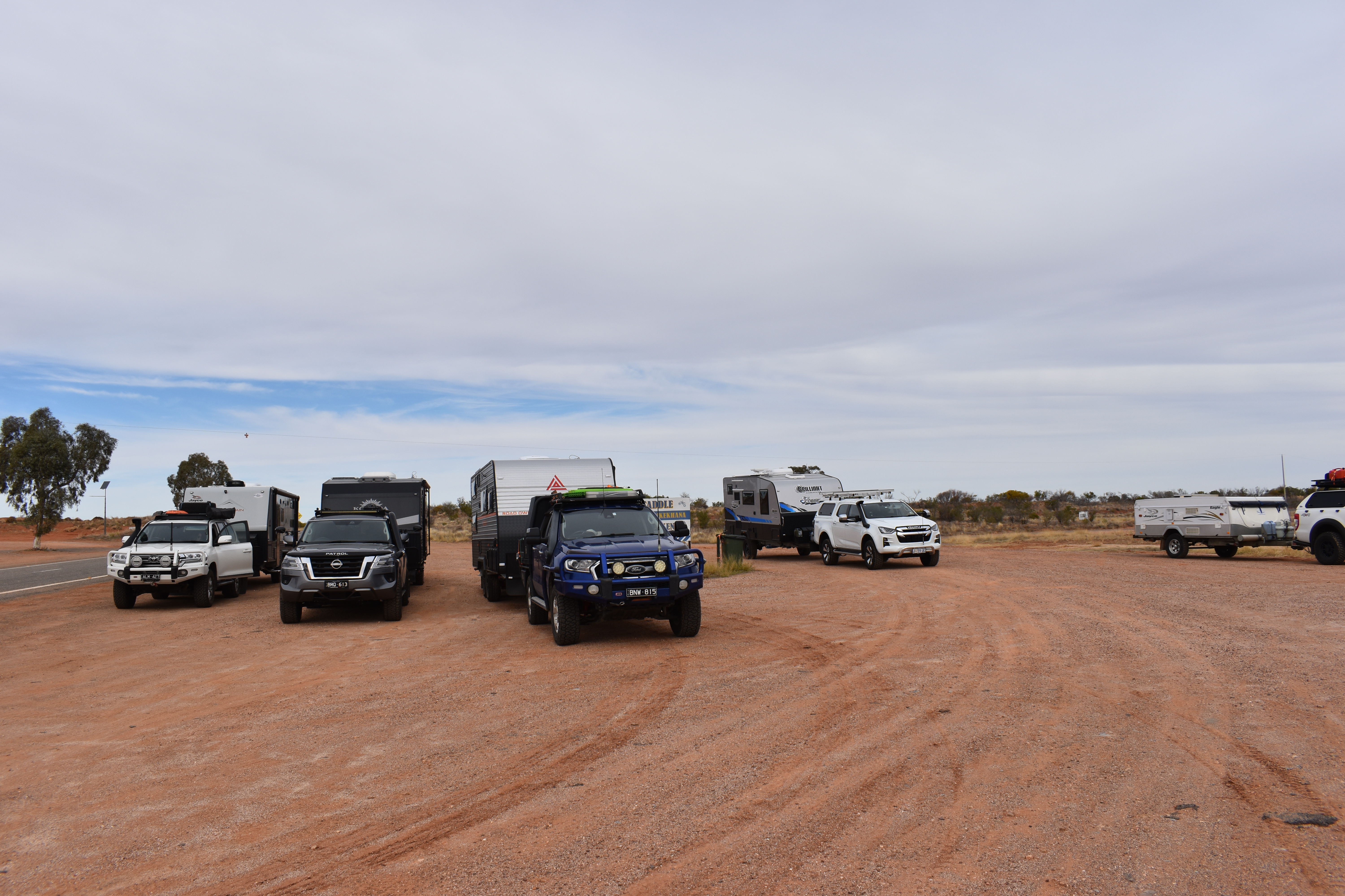
The next day we travelled the further 40 kilometres to Tibooburra.
Tibooburra’s reason for establishment was also the discovery of gold. By 1900 the gold mining activity had waned, to be replaced by the pastoral industry. Sheep stations, necessarily large in area due to the aridity, were the mainstay of Tibooburra until the 1980s, providing most of the social and commercial activity. For over a century the township had remained remote because of rough unsealed roads, but with the popularity of 4WD driving, and bitumen roads, it became within comfortable reach of the tourism industry.
Close to Tibooburra is Sturt National Park and the Dingo Fence. In 1845 Charles Sturt and his party (there were 16 men, 11 horses and 30 bullocks) reached the area. They were trying to discover an inland sea.
We had planned to travel into the Sturt National Park to Cameron Corner. Cameron Corner is the north western most point of New South Wales where the borders of three Australian states meet, Queensland, South Australia and NSW. A few decades after Sturt the “corner” was named after John Cameron who led a party to survey the NSW / Qld border between 1879 and 1881.
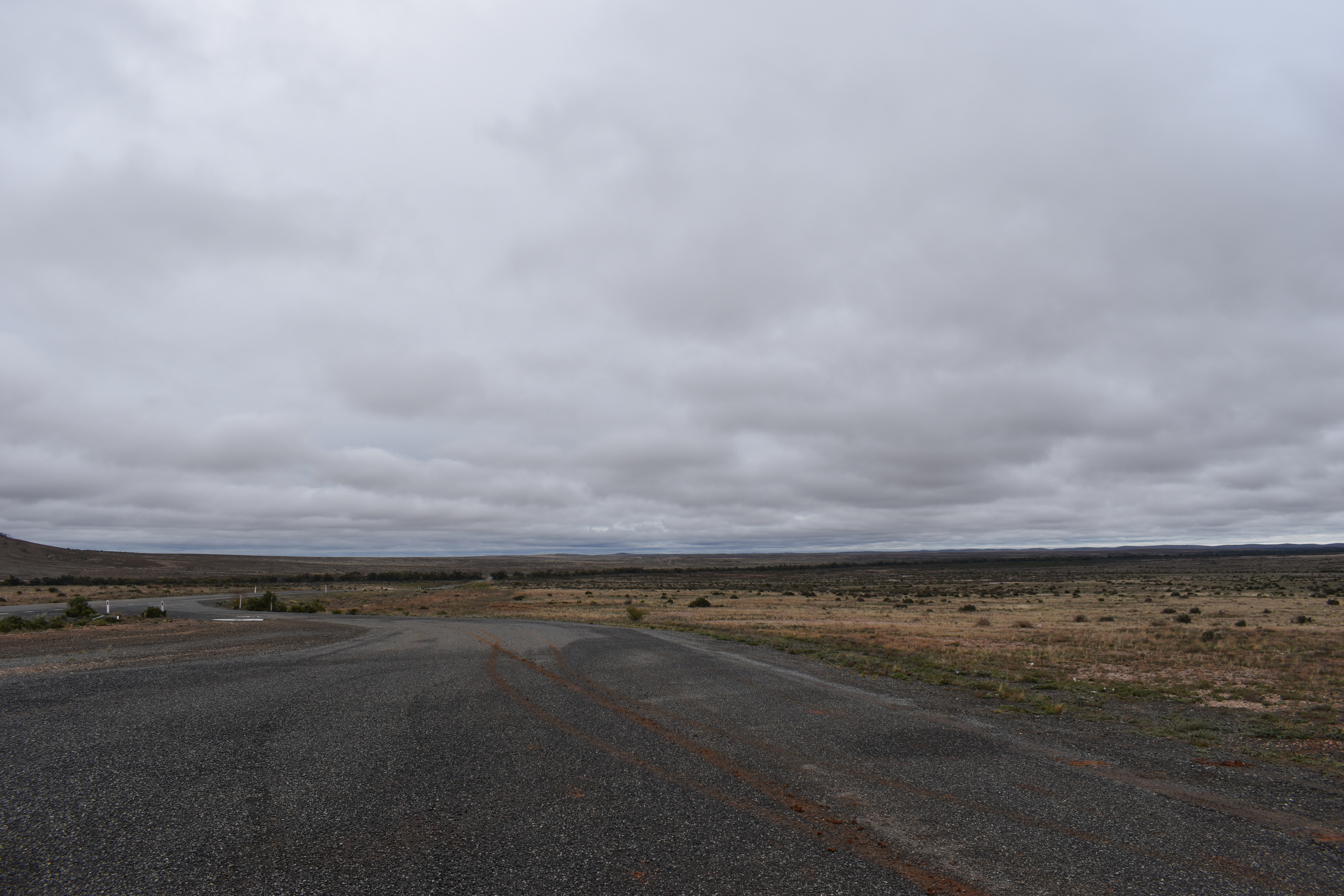
WE HAD TO CHANGE OUR PLANS AT TIBOOBURRA.
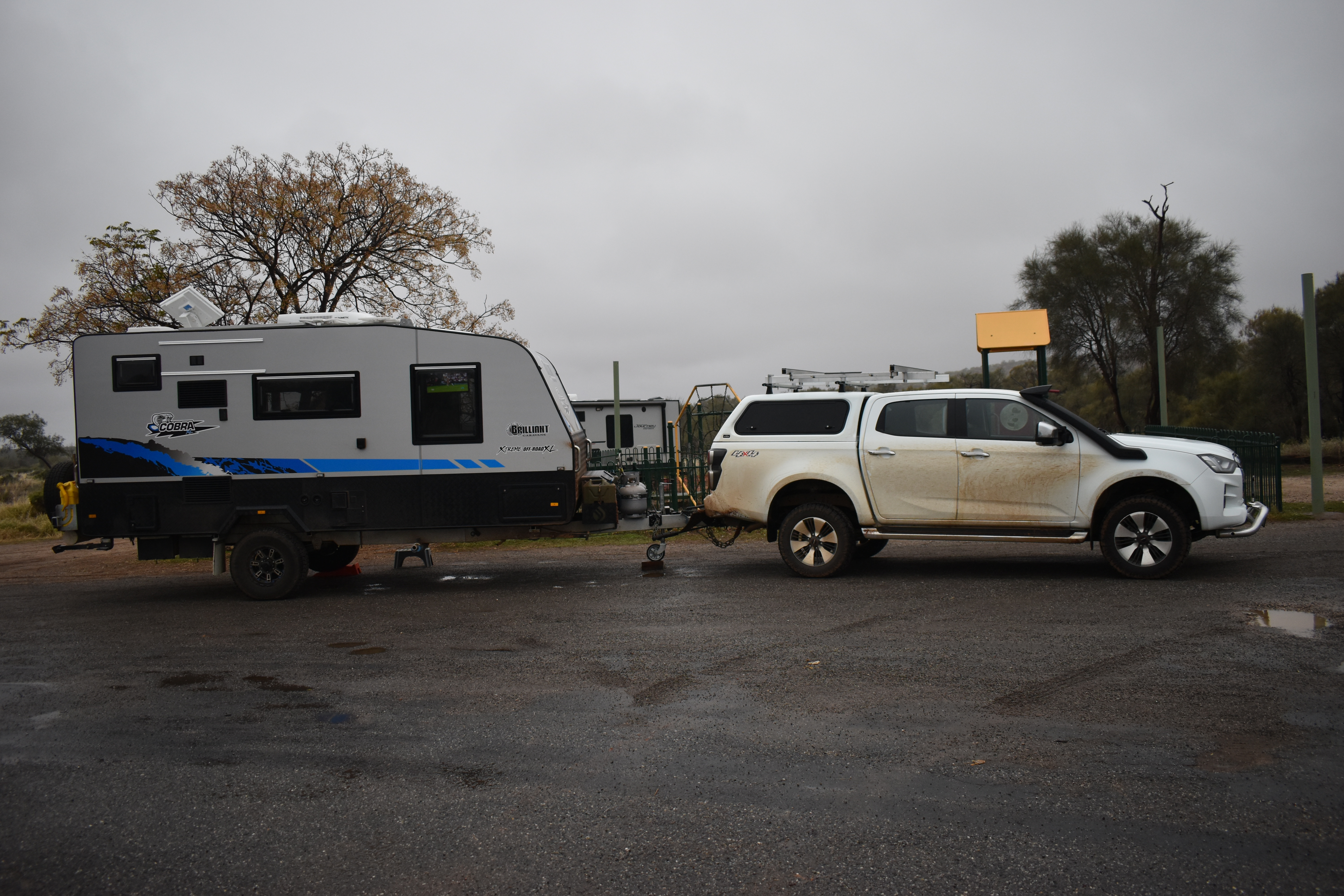
Some of Australia has been in the grip of a polar Jetstream and we have been plagued with rain, wind and cold temperatures since we left Curlewis. The day we arrived at Tibooburra many roads were declared “closed” even to 4WD so our planned day trip to Camerons Corner and continuing on to Innaminka were cancelled. After another night of heavy rain we opted not to hang around and backtracked some 325 kilometres to Broken Hill and headed east along the Barrier Highway toward Wilcannia. We opted for a free camp at Spring Creek Rest Area about 75 kilometres from Wilcannia.
The next day we travelled through Wilcannia, a predominantly sheep grazing area, and onto Cobar. Cobar has a rich mining history. Our next major town was Bourke and we free camped 66 kilometres north of it in a good area off the highway. We had travelled 555 kilometres in a day. Today, we travelled further north through Cunnamulla and are now free camped at Wyandra which is 100 kilometres south of Charleville.

The weather doesn’t look as though it’s improved much!
LikeLiked by 1 person
No, it hasn’t. Good talking to you yesterday. xx
LikeLike
How disappointing re weather, we have been watching with interest. Certainly hope it won’t impact us too much .At least you could re route and still head north . Where are you intending to go ? Better make it to camel 🐫 races , especially after last time – you won’t have a happy wife otherwise!!!!Safe travels and hope rain goes away , so much for the predicted dry winter .Cheers Wags
LikeLiked by 1 person