We have a few overseas followers who follow our adventures, so we are including details of roads & locations as we know they follow us on Google Earth.
Thankyou to all of you who read this blog and left your comments here or on Facebook, it is appreciated. We hope one of our followers, Geoff, is feeling better after a stint in hospital. Thankyou to Pelvrose for her nice encouraging message and to Clive. John M. please read further on to find out about William Creek and for Henry, you know some stuff!!!!!!!!!!!!!!!!!!
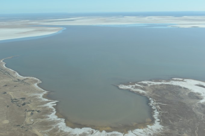
We took a flight over Lake Eyre and Marree Man (google it) which was simply awesome and the pilot was very informative

The Birdsville Track is the reason we are here.
The track runs from Marree in South Australia to Birdsville in Queensland. Its about 500 kilometres long and cuts through the Tirari Desert, Sturts Stony Desert and the Simpson Desert. The original track was an Aboriginal trading route that went from waterhole to waterhole.
Unfortunately, the track was closed early July due to extensive flood damage, and, we were left with no option but to change our plans. We looked at doing the Strzelecki Track but we were advised it was very rough and people had sustained caravan damage.
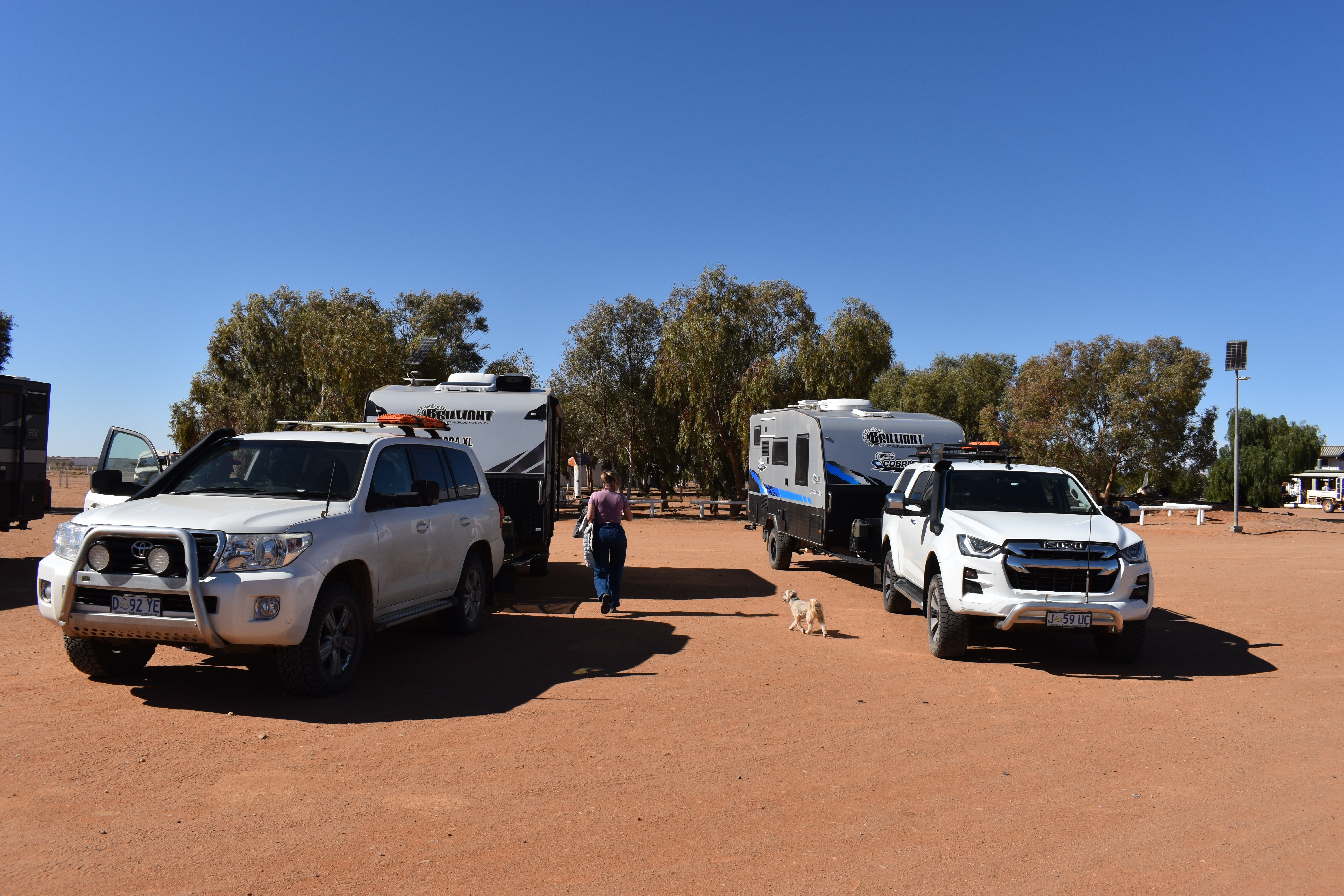
We then opted to travel the Oodnadatta Track, a 614 km unsealed road from Marree to Marla.
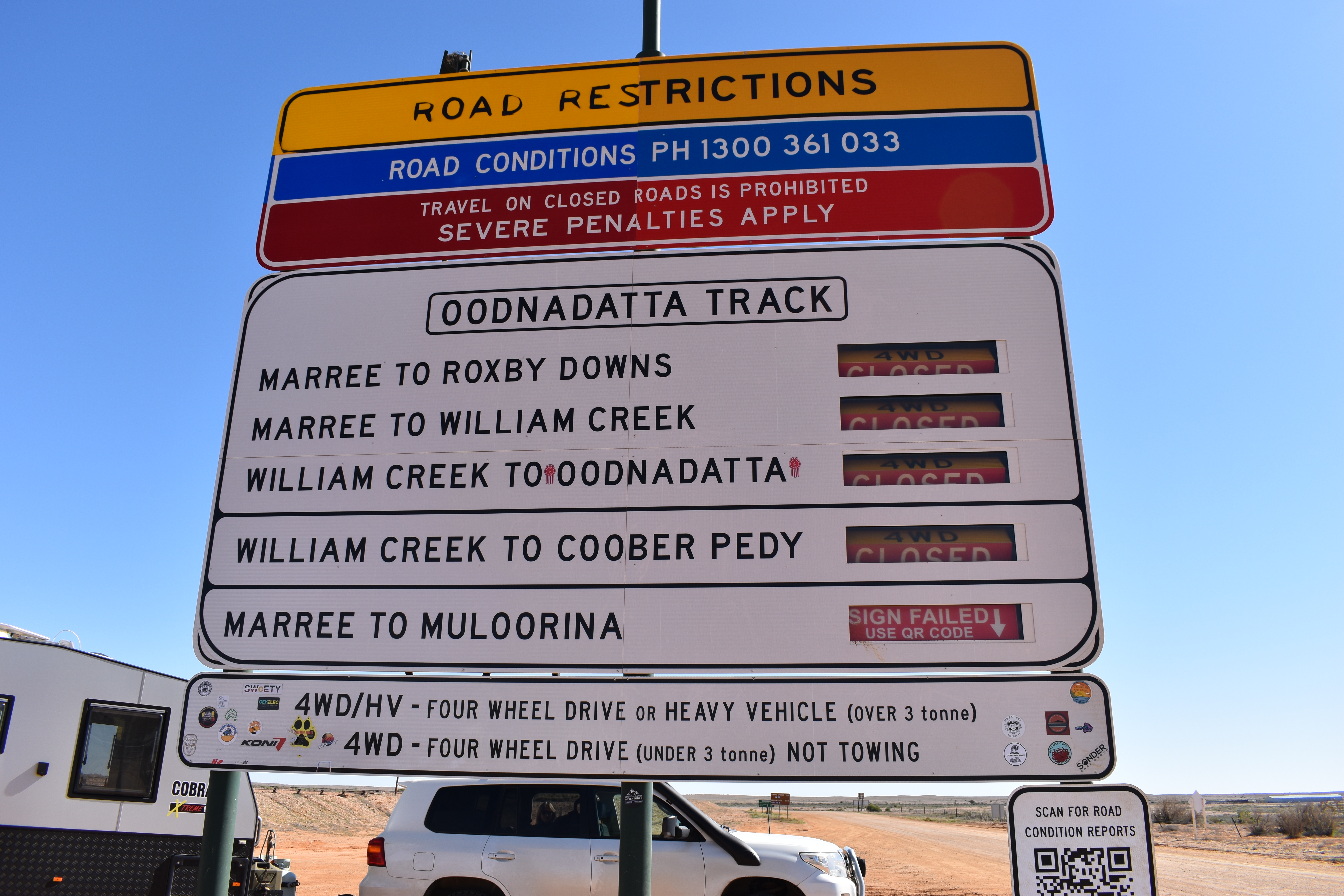
The track follows a traditional aboriginal trading route. Along the track are numerous springs feeding water from the Great Artesian Basin, the most accessible examples being the mound springs near Coward Springs. Later, because of the availability of water, the route was chosen for the steam-train powered Central Australia Railway, the original route of The Ghan.

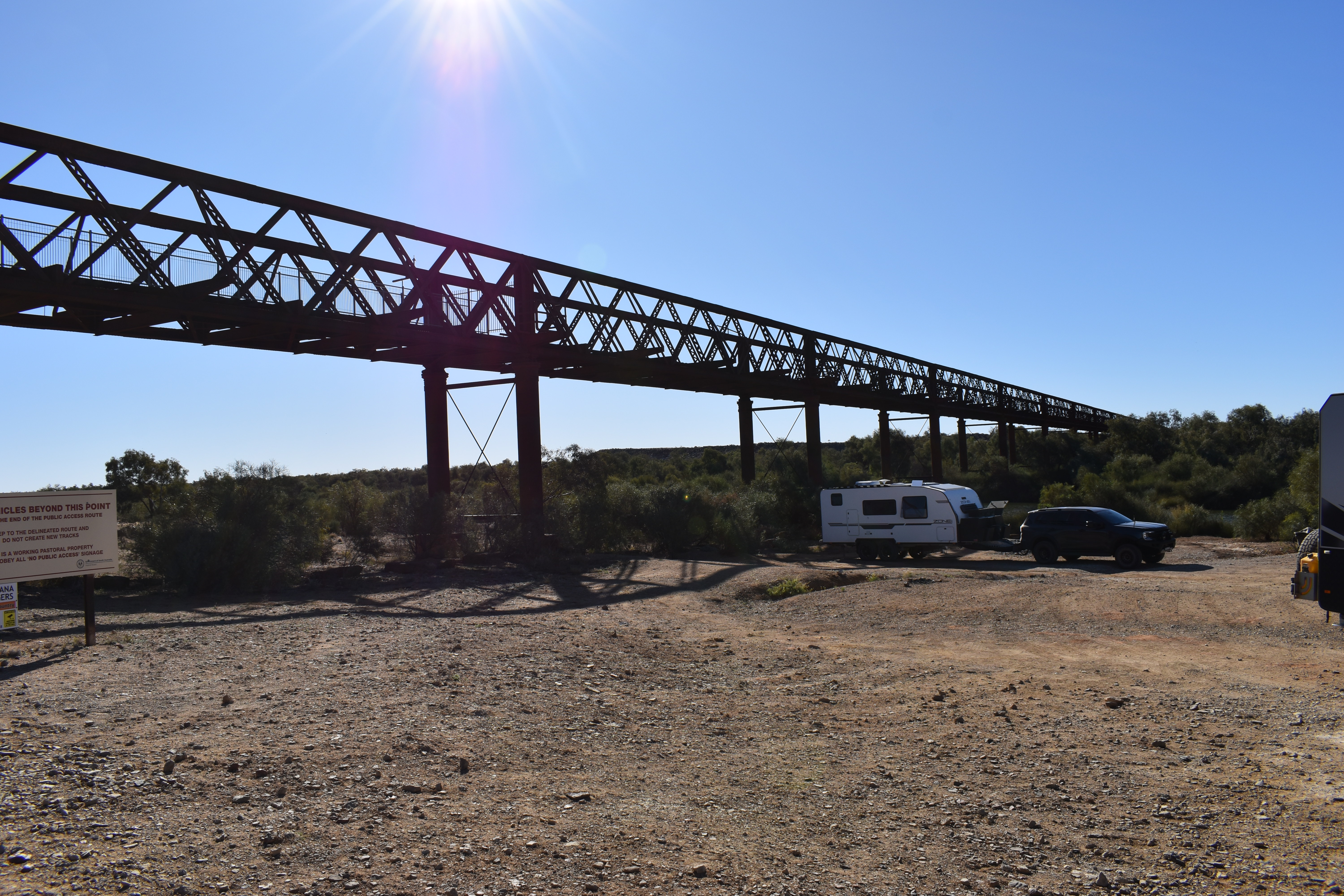


It was also the route taken by the explorer John McDouall Stuart on his third expedition in 1859. Remnants of the many railway sidings and bridges, the ruins of railway buildings, and Overland Telegraph Line repeater stations are located along the track.
After completing the track at Marla we made our way north to Alice Springs for two nights. In 1861–62, John McDouall Stuart led an expedition through Central Australia to the west of what later became Alice Springs, thereby establishing a route from the south of the continent to the north. It was not until alluvial gold was discovered at Arltunga, 100 kilometres east of the present Alice Springs, in 1887 that any significant European settlement occurred.
World War II brought significant changes to Alice Springs. Prior to the war, Alice Springs was an isolated settlement of fewer than 500 people. During the war, however, the town was an extremely active staging base, known as No. 9 Australian Staging Camp, and a depot base for the long four-day trip to Darwin. The railway hub in Alice Springs was taken over by military operations, and the number of soldiers posted in Alice Springs grew rapidly, as did the number of personnel passing through on their way to and from Darwin. When Darwin was threatened by Japanese forces, the sea routes—the Northern Territory capital’s primary means of transportation and resupply—were cut off. The evacuation of Darwin first brought a large number of civilians including elected officials and many of the territory government’s records. Alice Springs became the war-time civilian capital of the Northern Territory. When Darwin was bombed by Japanese air forces, a large number of military personnel and their heavy equipment were rapidly moved south to Alice Springs.
By far the major industry in recent times is tourism.
We then moved on through Tenant Creek to three Ways and then East on the Barkly Highway where we camped at Camooweal Waterhole for two nights

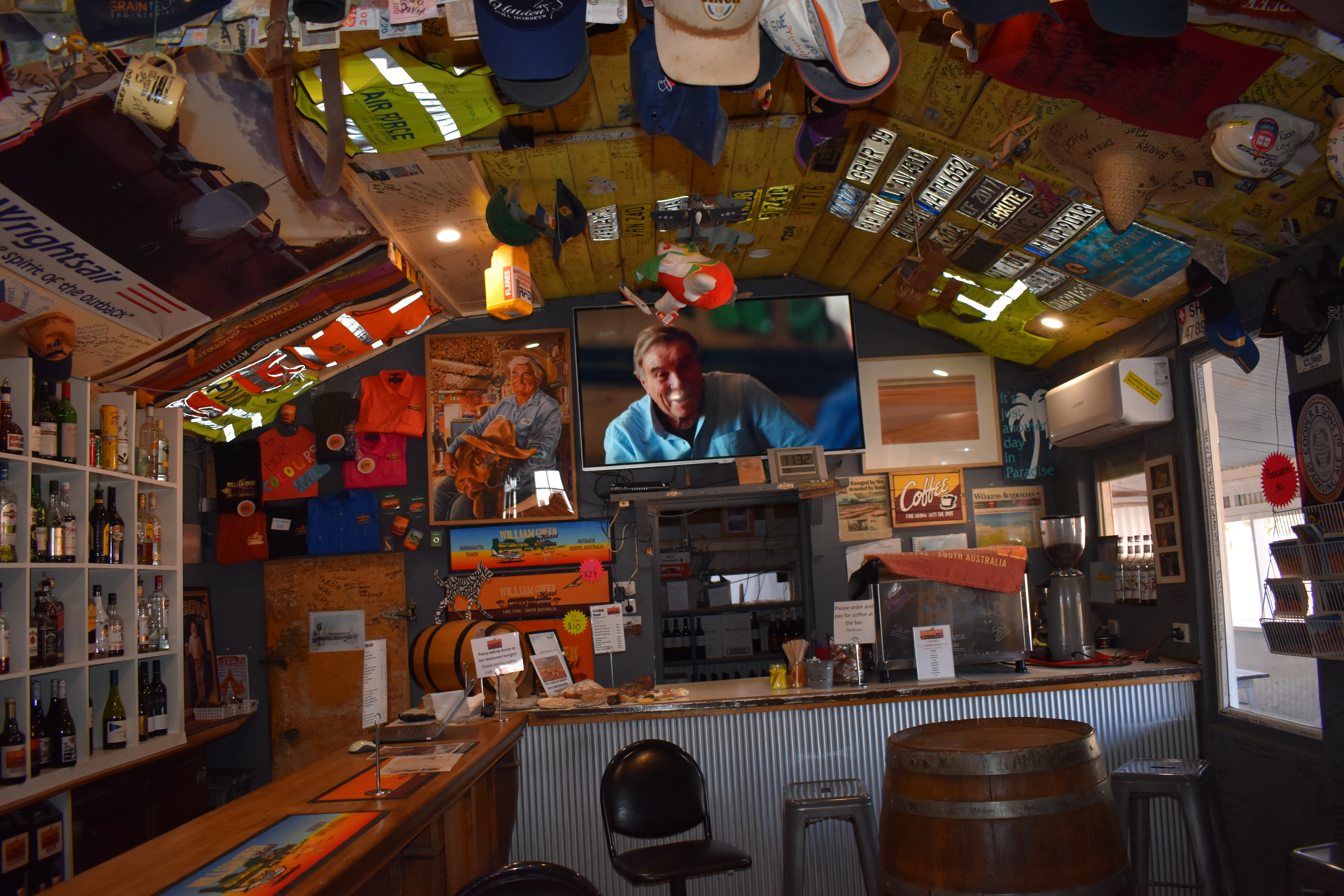
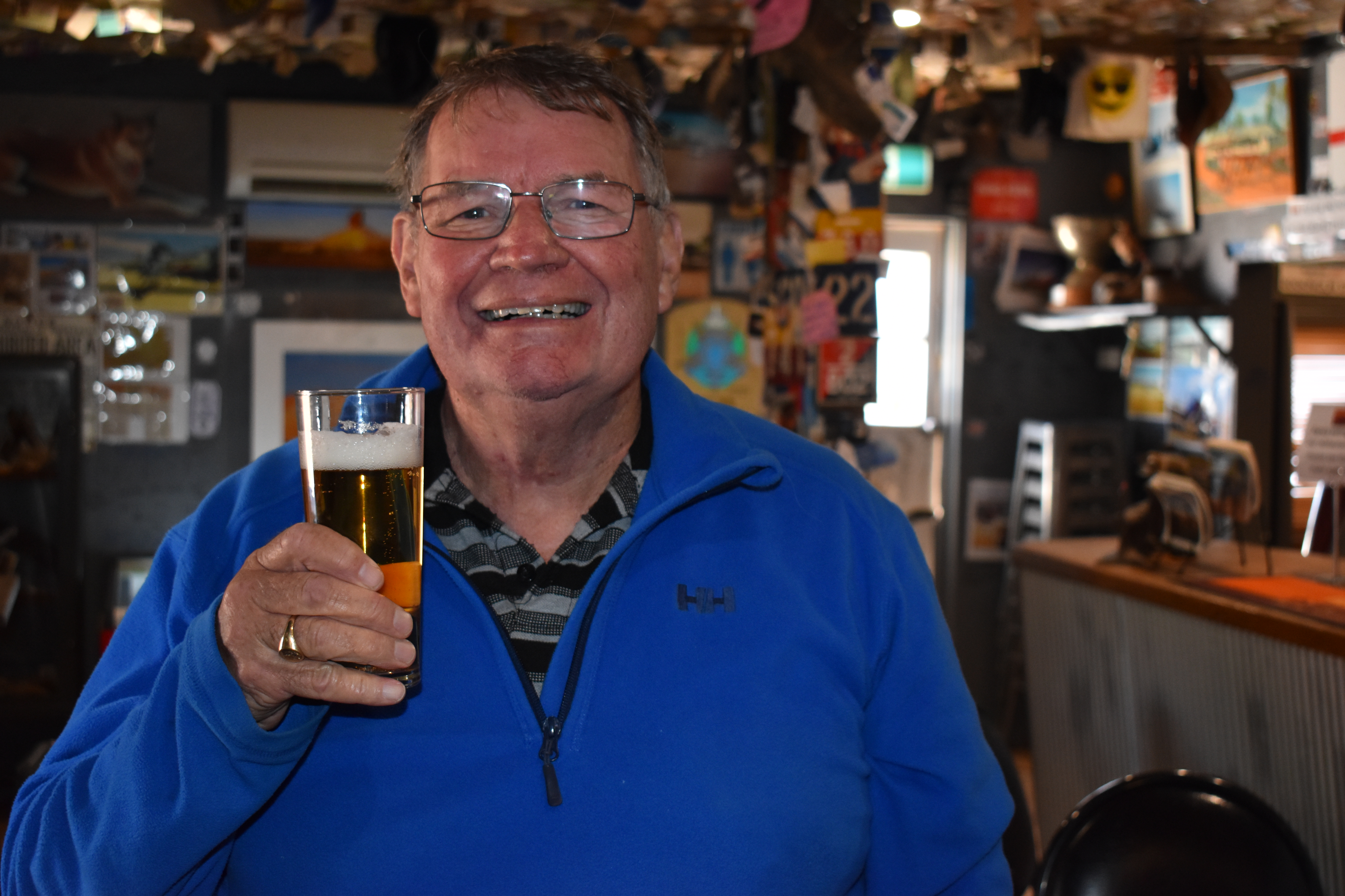
Just what I needed, a beer at William Creek. I will forever be in your debt. JM
LikeLiked by 1 person
John, it was a nice beer too! My brother and I toasted your health. It has been great actually travelling with another van this time. Take care and watch as we are Innaminca bound!
LikeLike
great to see you are still trekking safely.
meredith
LikeLiked by 1 person
Hello Meredith, great to hear from you and pleased you are keeping up with the blog. Take care.
LikeLike
Sorry for the change of plans. Enjoying following your adventure. Always so interesting. Brings back memories of our bus/train trip in ‘86.
Jeanette & Robb
LikeLiked by 1 person
Hello there, this is Mudball! Glad you are following the blog and I am sure you would be enjoying some great memories of your big bus trip. Trust everyone well. Take care!
LikeLike
Interesting to read your blog , we were wondering how you were doing. Such a shame you had to change your plans, however you are still seeing interesting points .What are your plans now ? We are enjoying our Winter in Tas , sunny day today 😄Safe travels
LikeLike
Hello from Karumba, it is good to hear from you. We have made our way into Mount Isa and onto Karumba for 5 nights. Wev then head back to the Isa for a car service, haircut etc. We then will resume Plan A which will see us travel down to Innaminca, Camerons Corner and on to Geelong. Take care!
LikeLike